Featured Projects
Impervious Surface Impact Analysis Using Imagery and GIS
-
Advanced geospatial analysis on the effects of increased urban development on a city's watershed and flood profile.
Shedding Light on Management Strategies for City Assets
-
GIS-based solution for monitoring and managing Edmonton's streetlight network.
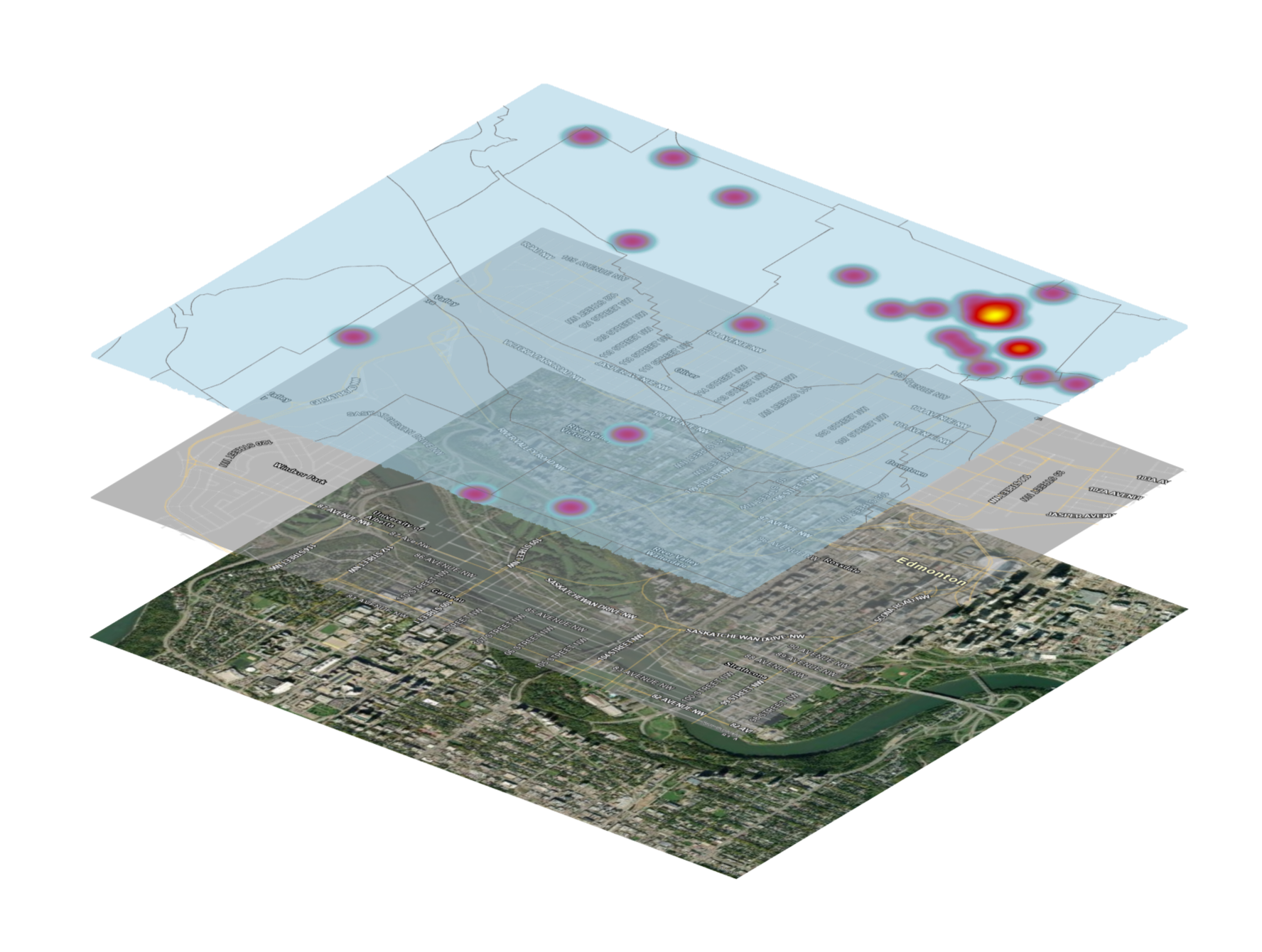
Mapping Edmonton's EV Charging Landscape with GIS
-
Utilizing GIS technology for data collection and analysis to serve as a baseline for the current EV Infrastructure expansion.